
Mobile
Alabama's port city — Mobile Bay humidity year-round and a downtown-to-West-Mobile spread of historic homes, mid-century brick, and new builds west of I-65.
- Spring Hill
- Midtown
- Downtown
See Mobile water profile →

Serving Mobile + Baldwin County, AL
Free in-home water test · results while we're there
Coverage
We work a source-aware Gulf Coast footprint — 38 cities across Alabama and Louisiana, from the salt-air corrosion zone on Dauphin Island and Orange Beach to inland well-water households and Mississippi River surface-water systems.
Coastal homes get a different conversation than inland ones. Bayfront and barrier-island properties live with chloride creep and constant humidity; inland wells lean iron, sulfur, and hardness from the Miocene aquifer. Pick your town below for the utility-by-utility breakdown and the equipment that actually fits.
11 cities
From MAWSS-served Mobile and Tillmans Corner through the groundwater suburbs of Saraland and Satsuma to rural private-well addresses — several distinct water-source patterns within one county.
Alabama's port city — Mobile Bay humidity year-round and a downtown-to-West-Mobile spread of historic homes, mid-century brick, and new builds west of I-65.
See Mobile water profile →
Northern Mobile metro suburb drained by Bayou Sara — newer residential growth alongside heavy industry along the river.
See Saraland water profile →
Former WWII shipyard company-town on Chickasaw Creek with a tightly-laid historic street grid that frames Mobile's near-north river corridor.
See Chickasaw water profile →
Northern Mobile metro suburb named for the citrus that took root here in 1878 — quiet residential streets along the US-43 spine.
See Satsuma water profile →
Northern Mobile County town built on 19th-century mineral-springs tourism and 20th-century oil — 34 miles up US-45 from Mobile.
See Citronelle water profile →
Mobile County's working seafood port — shrimp boats, processing houses, and a tight residential grid wrapped around the bayou.
See Bayou La Batre water profile →
Unincorporated south-Mobile CDP between Tillmans Corner and the Theodore Industrial Canal — Bellingrath country and a long I-10 frontage.
See Theodore water profile →
Unincorporated south-Mobile commercial belt — Alabama's biggest CDP, anchored by the Rangeline Road and Hamilton Boulevard retail spines.
See Tillmans Corner water profile →
Young west-Mobile-County city (incorporated 2011) along US-98 — fast-growing residential infill on what used to be agricultural land.
See Semmes water profile →
Barrier island at the mouth of Mobile Bay — 15 miles long, bridge-connected, and one of the most salt-air-exposed residential markets on the Gulf Coast.
See Dauphin Island water profile →
Southwestern Mobile County CDP a few miles inland from the Mississippi Sound — the last Alabama community on I-10 before the Mississippi line.
See Grand Bay water profile →
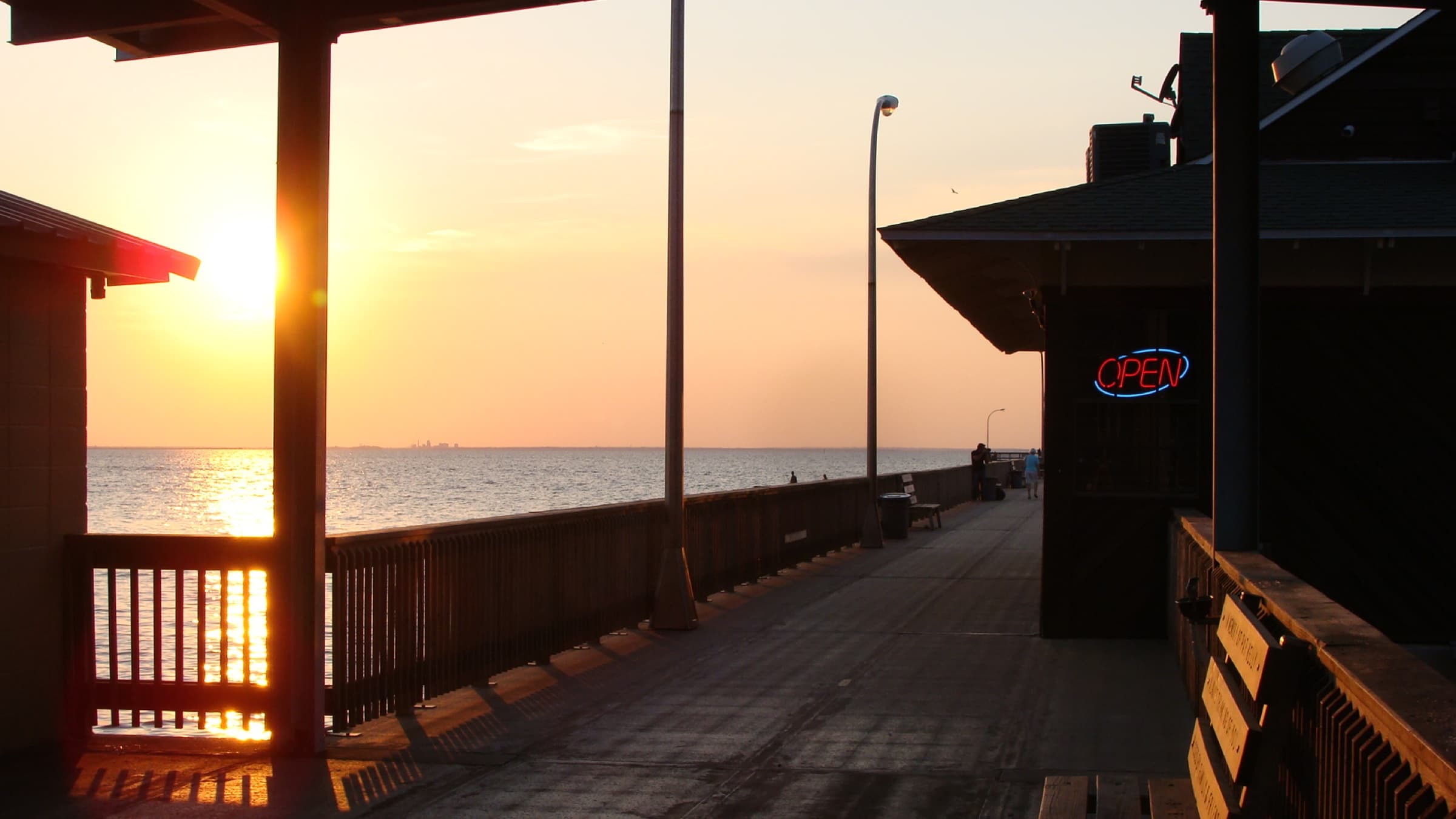
18 cities
Eastern Shore bayfront, beach-resort barrier islands, the Highway 59 retail corridor, and the agricultural midsection — each with a different utility or aquifer story.
Eastern Shore bayfront and Hwy 181 subdivisions — Baldwin County's largest city sits on the bluffs above Mobile Bay.
See Daphne water profile →
Historic single-tax colony on Mobile Bay — pier-side downtown, the Fruit and Nut District, and a long Greeno Road growth corridor to the east.
See Fairhope water profile →
Causeway-side Eastern Shore city — TimberCreek, Spanish Fort Estates, and the Blakeley historic corridor stretching toward the Tensaw delta.
See Spanish Fort water profile →
Hwy 59 retail spine, OWA, and Tanger Outlets country — Foley anchors south-central Baldwin between Robertsdale and Gulf Shores.
See Foley water profile →
Beach houses and vacation rentals — when a system fails Friday night before a turnover, the clock is the customer experience.
See Gulf Shores water profile →
Perdido Pass condos and Ono Island homes — salt-air corrosion is a real equipment-life factor, not a marketing line.
See Orange Beach water profile →
Baldwin County seat — courthouse square, the US-31 spine north of I-65, and the gateway to the Tensaw delta.
See Bay Minette water profile →
Highway 90 hub between Loxley and Robertsdale's eastern rural stretches — Baldwin County's agricultural-central anchor.
See Robertsdale water profile →
I-10 / Hwy 59 crossroads — commuter expansion meets central Baldwin County agriculture.
See Loxley water profile →
Hwy 59 between Foley and Loxley — family-farm country with steady infill growth.
See Summerdale water profile →
Highway 98 east of Foley with deep German farming heritage and twice-yearly Sausage Festival weekends.
See Elberta water profile →
Magnolia River and live-oak country with the only year-round mail-by-boat postal route in the United States.
See Magnolia Springs water profile →
Quiet small town between Robertsdale and Fairhope along County Road 55.
See Silverhill water profile →
US-31 country between Bay Minette and Spanish Fort — rural acreage homes and infill subdivisions north of the I-65 interchange.
See Stapleton water profile →
Small town on the northern shore of Perdido Bay between the mouths of Soldier Creek and Palmetto Creek — incorporated 2009.
See Perdido Beach water profile →
Western shore of Perdido Bay — Hwy 98 between Elberta and the Florida line, 15 minutes from Pensacola.
See Lillian water profile →
French-founded fishing village on Bon Secour Bay — 'good harbor' in French, still working seafood waters today.
See Bon Secour water profile →
Bayfront estates and resort properties south of Fairhope — humidity and salt-air exposure are constant factors on the Mobile Bay shore.
See Point Clear water profile →
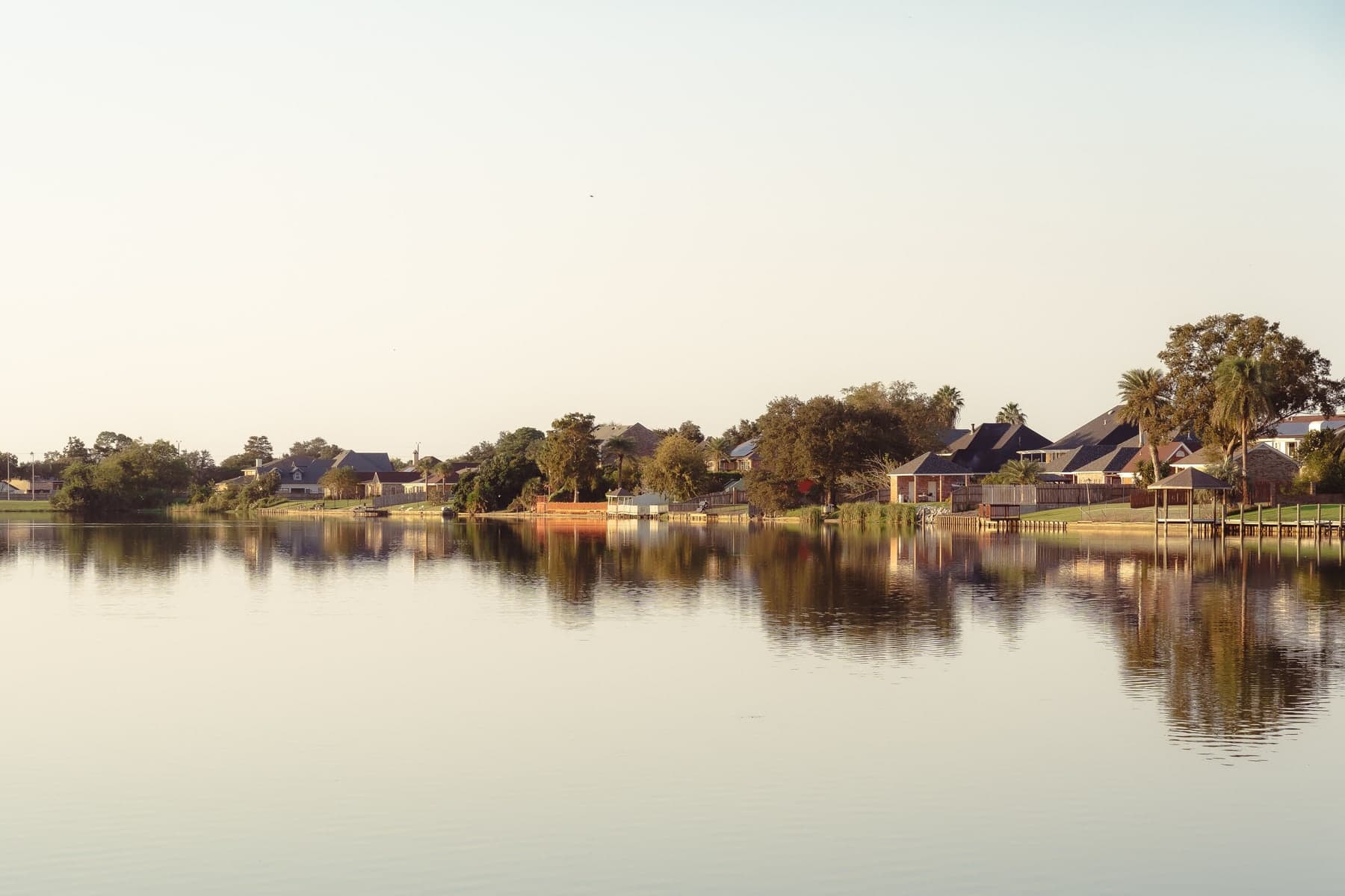
9 city guides
Mississippi River surface-water systems in Jefferson and Orleans Parishes meet address-dependent groundwater, subdivision, and private-well systems across the Northshore.
Jefferson Parish's largest community, stretching from Old Metairie and Bucktown through the Veterans and Causeway commercial corridors.
See Metairie water profile →
A compact Mississippi River community along Jefferson Highway, between the New Orleans line and River Ridge.
See Harahan water profile →
A residential Jefferson Parish community between Harahan and Kenner, following the higher river ridge beside the Mississippi.
See River Ridge water profile →
Jefferson Parish's largest incorporated city, spanning Rivertown to Lake Pontchartrain beside the region's airport and Williams Boulevard corridor.
See Kenner water profile →
The eastern Northshore's largest city, joining Olde Towne, waterfront communities, and the I-10/I-12 corridor.
See Slidell water profile →
A Lake Pontchartrain Northshore city at the Causeway, combining Old Mandeville's lakefront grid with growth toward I-12.
See Mandeville water profile →
The St. Tammany Parish seat, centered on a historic downtown where the Bogue Falaya and Tchefuncte river corridors meet the I-12 market.
See Covington water profile →
A small river town on the Tchefuncte near Lake Pontchartrain, with a compact core and a broader 70447 service area outside town limits.
See Madisonville water profile →
Louisiana's largest city, a Mississippi River port with a 73-neighborhood fabric extending from Carrollton and Uptown to the lakefront and Algiers.
See New Orleans water profile →
Don’t see your town?
Choose a published city guide or call with the service address. We will confirm the serving utility, current route coverage, and the right testing path before recommending equipment.
Send the service address and water source if you know it; we will confirm coverage.